 Ari Lamstein (https://arilamstein.com/wp-content/uploads/2023/04/Screenshot-2023-04-19-at-9.20.02-AM.png)
From State Lines to Sales Lines: Unraveling the Power of Zip Code Analytics
The Value of Zip Code-Based Data in Go-to-Market
Marketing and sales teams rely heavily on data to make informed decisions, drive strategies, and target their efforts effectively. In today’s world, zip code-based geographic and demographic data offer several invaluable insights that can supercharge their endeavors. Different regions can exhibit widely varying consumer behaviors, preferences, and needs. What works in one area may fall flat in another due to cultural, economic, or even regulatory differences.
Consider the Medicare insurance market. In this industry, healthcare policy terms, conditions, and coverages change at the local (zip code) and state levels. Not only do sales and marketing teams face restricted distribution and data collection regulations, but plans and markets are highly competitive. For marketing and sales professionals, the capability to segment by location ensures marketing messages on the benefits of plans are accurate and relevant to the demographic.
Optimizing Marketing’s Impact Using Geographic Data
Many of MarketBridge’s clients are in the thick of geographic-based data every day. The granularity and precision offered by such data can be a game-changer in the competitive landscape, ensuring that efforts are data-driven, precise, and, most importantly, effective. For example, a marketing campaign that resonates strongly in an urban setting may not have the same impact in a rural area. Similarly, a product that sells well in a high-income neighborhood may not perform as well in a less affluent one. By breaking down performance data geographically, organizations can tailor their approaches to align with local conditions, enabling them to allocate resources more effectively and improve ROI.
Predicting Customer Changes
Additionally, a geographic lens on performance data can provide valuable insights into emerging market trends and opportunities that are not immediately obvious when looking at aggregate data. For instance, a sudden spike in sales in a specific region could signal an unmet need or untapped market potential, providing a first-mover advantage to companies that act quickly. Alternatively, a decline in a particular area could be an early warning sign of market saturation, increased competition, or shifting consumer sentiments. Understanding these geographic nuances allows businesses to adapt and pivot their strategies proactively, ensuring they stay ahead in meeting customer needs and expectations.
Examples of Zip Code-Based Use Cases for Modern Go-to-Market
- Targeted Marketing Campaigns: Zip code demographics allow marketers to tailor campaigns, ensuring better audience resonance and higher conversion rates.
- Resource Allocation: Sales teams use zip code data to pinpoint high-potential areas, optimizing resource distribution.
- Personalized Customer Experience: Demographic data informs localized marketing strategies, enhancing brand differentiation.
- Predictive Analysis: Geographic and demographic insights help companies anticipate product or service demand.
- Product Development: Demographics guide product features, pricing, and branding for potential launch areas.
- Optimizing Distribution: Zip code data identifies ideal locations for distribution hubs or outlets.
- Competitive Analysis: Understanding area demographics helps marketers assess competitor footholds and adjust tactics.
- Risk Management: Businesses gauge regional risks using socio-economic data, influencing decisions like insurance premium settings.
- Enhanced Customer Segmentation: Zip code data refines customer targeting, from luxury promotions in affluent areas to budget offerings elsewhere.
- Compliance and Regulation: Zip code demographics help sectors like finance maintain local regulatory compliance.
The Challenges of Geospatial Data Analysis Using Zip Codes
While the significance of geographic data for sales and marketing teams is clear, transforming raw data—whether latitude/longitude, address, zip code, or census block—into actionable insights requires expertise. In the past, businesses leaned heavily on U.S. postal service data for geographic information, often outdated (by over a decade) and plagued with technical inaccuracies. Data associated with zip codes that traverse state boundaries presented additional challenges. U.S. Census Data provides a more accurate alternative data source for mapping, but one-off analysis is time-consuming.
The Roles and Toolsets Needed
Zip code analysis requires the right combination of talent and automated technology. At MarketBridge, “data detectives”—analysts with a deep data science toolkit who explore diverse data sets to understand why events/trends have happened—play a critical role in this endeavor. They use open-source, fully documented code connected to source systems, vendor files, and public geospatial data to standardize analysis and modeling of geographic data changes over time. The solutions these analysts create are document-based with code embedded in workbooks and are easily knittable to reports mapping changes and trends in consumer behavior for sales and marketing teams.
Analysts at MarketBridge use RStudio and the extendable RMarkdown/Quarto framework for this use case. Unlike Jupyter Notebooks, Quarto documents are entirely text-based, making version control easy via Git/Github, and are then convertible into HTML reports, PowerPoint slide decks, or Word documents.
Building an Open-Source Solution for Zip Code Data
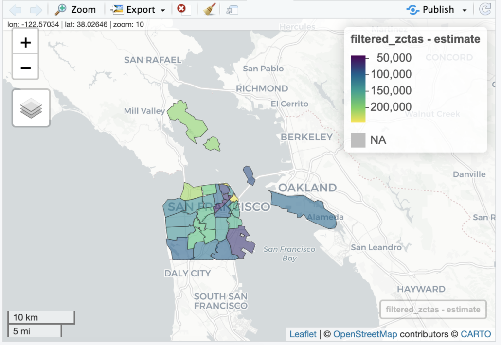
Frustrated by the limitations of R mapping when using Census data to overlay demographics on zip codes, I built Choroplethr, an open-source package for the R language, as a solution. Choroplethr seamlessly connects to U.S. Census Data for mapping, providing more accurate geospatial data and automatically handling visual mapping tasks.
Choroplethr is open-source and available to the public; to use it from R, simply type:
install.packages(“choroplethr”)
Choroplethr works very well with a fairly new R package, zctaCrosswalk. This package contains the U.S. Census Bureau’s 2020 ZCTA to County Relationship File, as well as convenience functions to translate between states, counties, and zip code tabulation areas (ZCTAs). You can install the package like this: install.packages(“zctaCrosswalk”).
Mastering Data for Strategic Growth
In today’s data-driven landscape, the nuanced understanding of geographic and demographic data, down to the zip code, is pivotal for marketing and sales strategy. Through tools like open-source software (R studio), professionals can access refined insights that were previously difficult to harness or done via a one-off analysis. These tools not only aid in crafting precise campaigns but also in understanding market dynamics at a granular level. This journey underscores the importance of evolving technology and innovation in making sense of vast data sets.
The State of Marketing Analytics
Access our marketing analytics benchmark report to learn more about 1) Direct-from-the-source challenges and priorities heard from marketing analytics leaders, 2) Key insights on how organizations are maintaining, running, and growing their analytic functions, and 3) Go-forward actions for marketing analytics teams to improve processes and advance analytics.